The Union Territory of Jammu and Kashmir was officially formed on October 31, 2019, following the enactment of the Jammu and Kashmir Reorganisation Act, 2019. This reorganization split the erstwhile state of Jammu and Kashmir into two separate Union Territories: Jammu & Kashmir and Ladakh.
Historical Background
The origins of Jammu and Kashmir as a unified entity trace back to the Treaty of Amritsar, signed on March 16, 1846, between the British Government and Maharaja Gulab Singh. Through this treaty, control of Kashmir was handed over to the Dogra rulers of Jammu, who were already governing Ladakh. This led to the formation of a new region comprising Jammu, Kashmir, and Ladakh, with Maharaja Gulab Singh as its first ruler.
On August 15, 1947, as British paramountcy lapsed, Jammu and Kashmir was one of 565 princely states in India. Maharaja Hari Singh, the then ruler, chose to accede to the Union of India by signing the Instrument of Accession on October 26-27, 1947.
Following this, several political developments took place:
- March 5, 1948: Sheikh Mohammad Abdullah was appointed Prime Minister of Jammu and Kashmir.
- June 20, 1949: Due to health concerns, Maharaja Hari Singh appointed his son, Yuvraj Karan Singh, as Regent.
- January 26, 1950: Article 370 of the Indian Constitution granted special status to Jammu and Kashmir.
- May 1, 1951: A Constituent Assembly was formed.
- August 19, 1952: The Assembly elected Yuvraj Karan Singh as Sadar-i-Riyasat (Head of State).
- May 14, 1954: The Constitution of India was extended to Jammu and Kashmir with specific exceptions.
- November 17, 1956: The Constitution of Jammu and Kashmir was adopted, declaring it an integral part of India.
- March 28, 1965: The 6th Amendment to the State Constitution re-designated the Sadar-i-Riyasat as Governor and Prime Minister as Chief Minister.
With the passage of the Jammu and Kashmir Reorganisation Act on August 9, 2019, the state was divided into two Union Territories: Jammu & Kashmir and Ladakh, effective from October 31, 2019.
Geographical Features
Jammu and Kashmir is bordered by:
- Ladakh (East and North)
- Pakistan (West)
- Himachal Pradesh and Punjab (Gurdaspur District) (South)
The region has three principal rivers:
- Jhelum
- Chenab
- Ravi
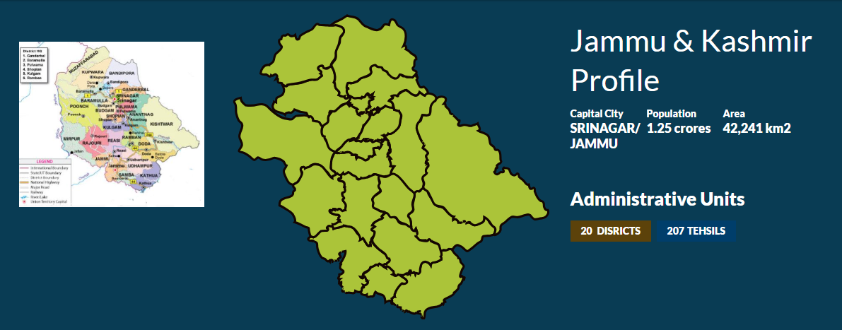
It consists of 20 districts, with 10 in Kashmir Valley and 10 in Jammu Division. The UT has two capitals:
- Srinagar (Summer Capital)
- Jammu (Winter Capital)
Read also: Jammu and Kashmir Map: A Comprehensive Profile
Jammu and Kashmir is divided into three distinct geographical zones:
- Sub-Mountain & Semi-Mountain Plains (Kandi or Dry Belt)
- Shivalik Ranges
- High Mountain Zone (Includes Kashmir Valley, Pir Panjal Range, and offshoots like Doda, Poonch, Rajouri, Kathua, and Udhampur).
The climate varies across regions:
- Jammu plains: Tropical
- Kashmir and mountainous Jammu: Semi-arctic cold and temperate conditions
Rainfall also differs:
- Srinagar: 650.5 mm annually
- Jammu: 1115.9 mm annually
Read also: Jammu & Kashmir Lok Sabha and Assembly Constituency Map
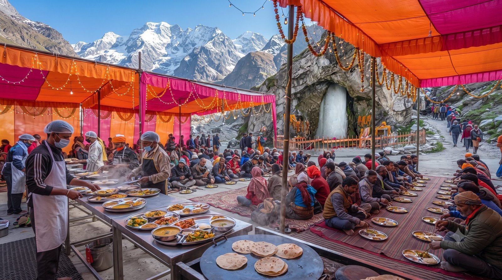
Cultural and Historical Significance
Jammu and Kashmir is rich in art, culture, and history, with numerous archaeological and historical sites. While Kashmir is considered to have one of the oldest recorded histories in the world, Jammu also holds great significance in ancient Indian history.