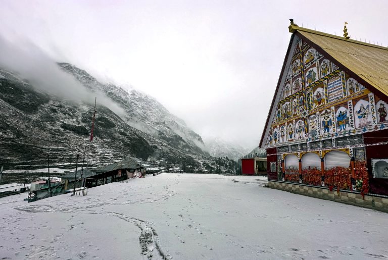
A fresh spell of unstable weather is set to impact Jammu & Kashmir, with the Meteorological Department warning of rain, snowfall, thunderstorms, and possible landslides over the next few days. Authorities have urged residents, travellers, and farmers to remain cautious.
Weather Forecast for J&K (April 6–10)
- April 6: Brief spell of light rain expected at isolated places by late afternoon.
- April 7–8:Widespread weather activity likely across most regions with light to moderate rain/snow.
- Some areas may experience heavy rainfall, thunderstorms, hailstorms, and gusty winds.
- April 9–10: Weather to ease slightly with scattered light rain in a few areas.
According to MeT Director Mukhtar Ahmad, the Jammu region, Pir Panjal range, and Chenab Valley will witness the most intense activity. Parts of south and central Kashmir are also expected to receive light to moderate rainfall.
Temperature Drop Expected in Jammu & Kashmir
Due to ongoing weather disturbances, temperatures are likely to dip over the next 48 hours, bringing cooler conditions across the Union Territory.
Jammu-Srinagar Highway Closed Due to Landslides
In a major disruption, the 270-km Jammu–Srinagar National Highway (NH-44) was completely blocked overnight after continuous landslides between Karool Bridge and Chanderkote.
Traffic movement on this crucial route remains suspended, affecting connectivity between Jammu and Kashmir.
Advisory for Residents, Travellers & Farmers
Authorities have issued the following safety advisory:
- ⚡ Thunderstorms, hail, and strong winds likely on April 7–8
- ⛰️ Risk of landslides in vulnerable hilly areas
- 💧 Waterlogging possible in low-lying regions
- 🚜 Farmers advised to suspend agricultural activities until April 10
- 🚗 Travellers should check road and weather updates before planning journeys
Outlook After April 10
Weather conditions are expected to improve after April 10, with forecasts indicating largely dry weather, allowing normal activities to resume.