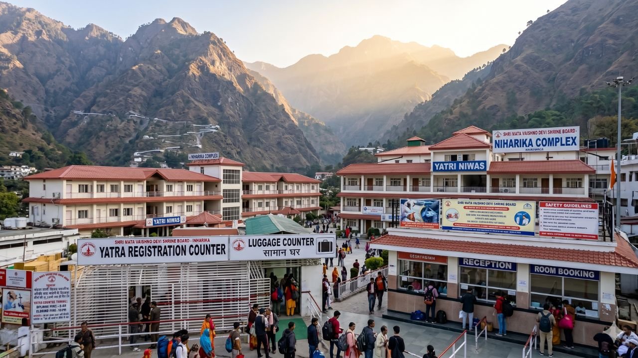
Jammu and Kashmir experienced a significant shift in weather conditions due to the activation of a western disturbance. Starting Wednesday, the disturbance brought rainfall to higher altitudes, with predictions of snowfall and rain across the region. Here’s an in-depth look at the latest developments.
Rain and Snowfall Forecast Amidst Cold Wave in Jammu & Kashmir
The Meteorological Department has confirmed the likelihood of light snowfall in mountainous areas and rain in lower regions from Thursday onward. Although the plains of Srinagar and Jammu experienced dry weather throughout the day, the skies remained overcast, signaling imminent precipitation.
The persistent cold wave has kept temperatures below freezing across Kashmir. Coupled with light fog, the weather has significantly affected visibility and daily life in both Jammu and Kashmir. The mercury in Jammu dipped to 13.0°C, slightly lower than the previous day’s 13.4°C, further intensifying the chill.
Impact of Western Disturbances in Jammu & Kashmir
The influence of two western disturbances will dominate the region’s weather pattern until January 6.
- First Disturbance:
- Active since Wednesday, this disturbance is expected to last until the afternoon of January 2.
- It has already caused rainfall in higher areas, including Gulmarg, which experienced continuous showers from morning until late evening.
- Second Disturbance:
- Predicted to begin on January 3 and continue through January 6.
- This disturbance is anticipated to be more intense, bringing moderate to heavy snowfall across most of the valley.
- The peak impact will be felt on January 4 and 5, with widespread disruptions expected.
Advisory for Tourists and Travelers
The weather is forecasted to improve gradually from January 6 afternoon. However, tourists, commuters, and transporters are advised to exercise caution during this period. Key recommendations include:
- Plan Ahead: Check weather updates before traveling.
- Contact Authorities: Reach out to the traffic police control room for real-time updates on road conditions.
- Avoid Delays: Limit unnecessary halts, particularly between Ramban and Banihal, as the area is prone to landslides and shooting stones.
Jammu-Srinagar National Highway, Snowfall Disrupts Road Connectivity
Heavy snowfall has led to the closure of several roads, including:
- SSG Road
- Bhaderwah-Chamba Road
- Mughal Road
- Sinthan Road
The Jammu-Srinagar National Highway remains operational, but commuters are advised to follow lane discipline and avoid overtaking, which could lead to congestion. Travel is recommended only during daylight hours to ensure safety.
Read also: Sinthan Top: The Perfect Getaway in Jammu & Kashmir
Efforts to Restore Normalcy
The administration has deployed teams to expedite snow clearance from major roads and ensure the uninterrupted supply of essential services. Senior district officials in Srinagar have conducted inspections to monitor the situation. Departments responsible for power and water supply are on high alert to address any disruptions promptly.
Current Temperature and Weather Highlights
- Jammu: Recorded a maximum temperature of 13.0°C and the warmest night temperature at 8.4°C.
- Srinagar: Experienced overcast skies and no sunshine, adding to the cold wave’s impact.
The activation of western disturbances has brought much-needed rainfall and snowfall to Jammu and Kashmir, breaking the prolonged dry spell. While the weather poses challenges, timely advisories and administrative efforts aim to mitigate its impact on daily life. Travelers and locals are urged to stay updated on weather conditions and adhere to safety guidelines during this period.
Stay informed and plan your activities carefully to navigate the changing weather in Jammu and Kashmir effectively.

