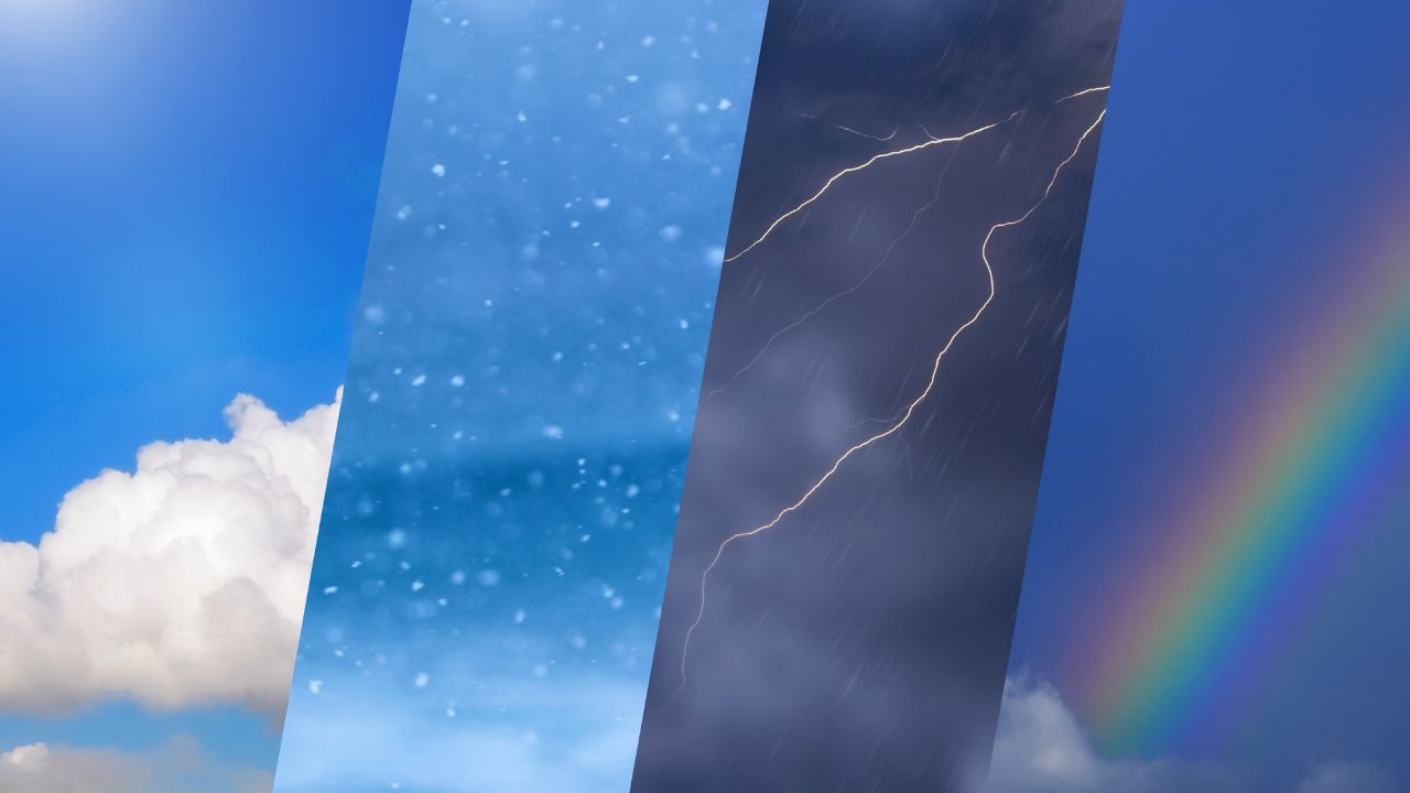
A harsh winter spell has tightened its grip over Jammu and Kashmir, bringing bone-chilling temperatures, dense fog, and an alarming rainfall deficit, even as the India Meteorological Department (IMD) predicts snowfall and rain in the coming days due to an approaching western disturbance, intensifying concerns over water availability and agriculture across the region.
On Sunday, the Valley recorded a sharp fall in daytime temperatures, with Srinagar turning colder than Jammu. The maximum temperature in Srinagar dropped nearly 10 degrees Celsius below normal, settling at just 7.4°C, while Jammu, usually warmer at this time of year, shivered at 4°C, far below its seasonal average of around 17°C.
Ironically, even the snow-clad tourist hotspot Gulmarg was warmer than Jammu, recording a maximum of 8.2°C.
Freezing Nights, Sunny Days in Kashmir Valley
While daytime conditions remained bright and sunny, nights across the Kashmir Valley continued to stay well below freezing. Srinagar recorded a minimum of minus 5.2°C, Qazigund minus 5.3°C, and Pahalgam, a popular tourist destination in south Kashmir, plunged to a biting minus 8.6°C.
Parts of Dal Lake and several other water bodies froze under the extreme cold, highlighting the severity of the winter spell. Srinagar later recorded a daytime high of 13.3°C, under clear skies.
Near-Total Dry Spell Raises Alarm
Adding to the winter woes is a severe rainfall deficit across Jammu and Kashmir. According to data released by the India Meteorological Department (IMD), the region experienced an almost complete dry spell during the first fortnight of January.
From January 1 to 14, J&K received just 1.4 mm of rainfall against a normal of 33.3 mm, reflecting a staggering 96% deficit. Several districts—including Budgam, Doda, Ramban, Samba, Shopian, Srinagar, and Udhampur—recorded zero precipitation, marking a 100% rainfall deficit.
Other districts such as Kulgam, Pulwama, Bandipora, and Kishtwar also saw deficits close to 99%. In the Valley, Anantnag received only 1.7 mm against a normal of 24.5 mm, while Kupwara recorded a massive 97% shortfall.
The Jammu region mirrored this trend, with Jammu city receiving just 1.9 mm against a normal of 20.5 mm, and Kathua and Reasi recording deficits of 97% and 96%, respectively. Only Poonch and Rajouri received slightly higher rainfall, though deficits still exceeded 60%.
Cold Tightens Grip During Chilla-i-Kalan
The Kashmir Valley remains in the grip of ‘Chilla-i-Kalan’, the harshest 40-day winter phase, during which temperatures often plunge several degrees below freezing and snowfall chances peak. The period began on December 21 and will conclude on January 30, followed by Chilla Khurd and Chillai Bachha.
Recent readings showed Sonamarg as the coldest spot at minus 8.9°C, followed by Shopian at minus 6.7°C, Pahalgam at minus 6°C, and Gulmarg at minus 5.6°C.
Western Disturbance Brings Hope of Snow and Rain
Meteorologists have warned that the prolonged absence of winter precipitation could impact spring irrigation, apple orchards, saffron cultivation, and the recharge of rivers and groundwater sources.
However, Dr Mukhtar Ahmad, Director of the Meteorological Centre Srinagar, expressed cautious optimism.
“Rainfall deficit in January is around 90%, while since October it stands at about 50%. Compared to last year, the situation is slightly better,” he said, adding that a major precipitation spell is expected soon.
The MeT Department has forecast back-to-back western disturbances, with light snow over higher reaches on January 19 and 20, followed by light to moderate rain and snowfall till January 25. Heavy rain or snow is likely in parts of the Chenab Valley, Pir Panjal range, and south Kashmir between January 23 and 24.

