The Jammu-Srinagar National Highway (NH-44) is a critical transportation route that connects Jammu to Srinagar, passing through key districts such as Jammu, Udhampur, Ramban, Anantnag, and Pulwama. Known for its breathtaking landscapes, the highway is a popular choice for road trips but is also prone to seasonal closures due to landslides and snowfall.
Jammu-Srinagar National Highway Distance and Route Details
- Starting Point: Jammu City
- Ending Point: Lal Chowk, Srinagar
- Total Distance: 243.3 km
- Estimated Travel Time: 5 hours 12 minutes (via NH 244A and NH 44)

Click here to view route map on Google.
Key Sections of the Highway
- Jammu to Ramban – Covers 121 km in approximately 2 hours 44 minutes.
- Ramban to Srinagar – Covers 135.6 km in approximately 2 hours 56 minutes.
Read also: Amarnath Yatra Helicopter Booking 2025: How to Book, Prices, and Services
Important Features of the Route
- The highway traverses through the Kashmir Valley for the first 68 km (up to Qazigund) before entering mountainous regions.
- It includes high-elevation sections with significant climbs.
- The highway is prone to landslides, particularly during monsoon and winter seasons, causing periodic road closures.
Major Cities and Destinations Covered
The Jammu-Srinagar Highway passes through several key cities, including:
- Jammu
- Udhampur
- Ramban
- Qazigund
- Srinagar
Other notable locations along the highway include Anantnag, Domel, and Pulwama.
Major Tunnels on the Jammu-Srinagar National Highway
Shyama Prasad Mukherjee Tunnel (Chenani-Nashri Tunnel)
- Length: 9 km (India’s longest highway tunnel, also Asia’s longest bi-directional tunnel)
- Location: Between Udhampur and Ramban
Banihal-Qazigund Tunnel (Banihal to Jammu Distance)
- Length: 8.5 km
- Elevation: 1,790 meters in the Pir Panjal Range
- Connects: Banihal to Qazigund
Banihal to Jammu distance: 3 hr 37 min (152.6 km) via NH 244A and NH 44
Jawahar Tunnel (Banihal Tunnel)
- Length: 2.85 km
- Facilitates: All-season connectivity between Jammu and Srinagar
- Location: Between Banihal and Qazigund
Nandni Tunnels
- Total Length: 1.4 km
- Purpose: Reduces travel time between Jammu and Srinagar
- Location: Under the Nandni Wildlife Sanctuary in Udhampur
Important Facts About the Jammu-Srinagar National Highway
- The NH-44 provides year-round connectivity, except during extreme weather conditions.
- It serves as a strategic trade and military route.
- The road passes through some of the most scenic yet challenging terrains, requiring regular maintenance.
Jammu-Srinagar National Highway: Traffic Control and Emergency Contact Information
Traffic conditions can be monitored via control rooms or traffic control and emergency assistance on the Jammu-Srinagar National Highway (NH-44), here’s a summary of contact information:
- Srinagar Traffic Control Room: 0194-2450022
- Jammu Traffic Control Room: 0194-2459048, 9419147732
- Pulwama Traffic Control Room: 01933-247369
- Ramban: 9419993745
Toll Free number: 18001807091
For traffic control and emergency assistance on the Jammu-Srinagar National Highway (NH-44), here’s a summary of contact information: Jammu Traffic Control Unit: 0191-2459048, 9419147732; Srinagar Traffic Control Unit: 0194-2450022, 2485396.
Read also: Essential Do’s and Don’ts for Pilgrims Visiting Vaishno Devi Shrine
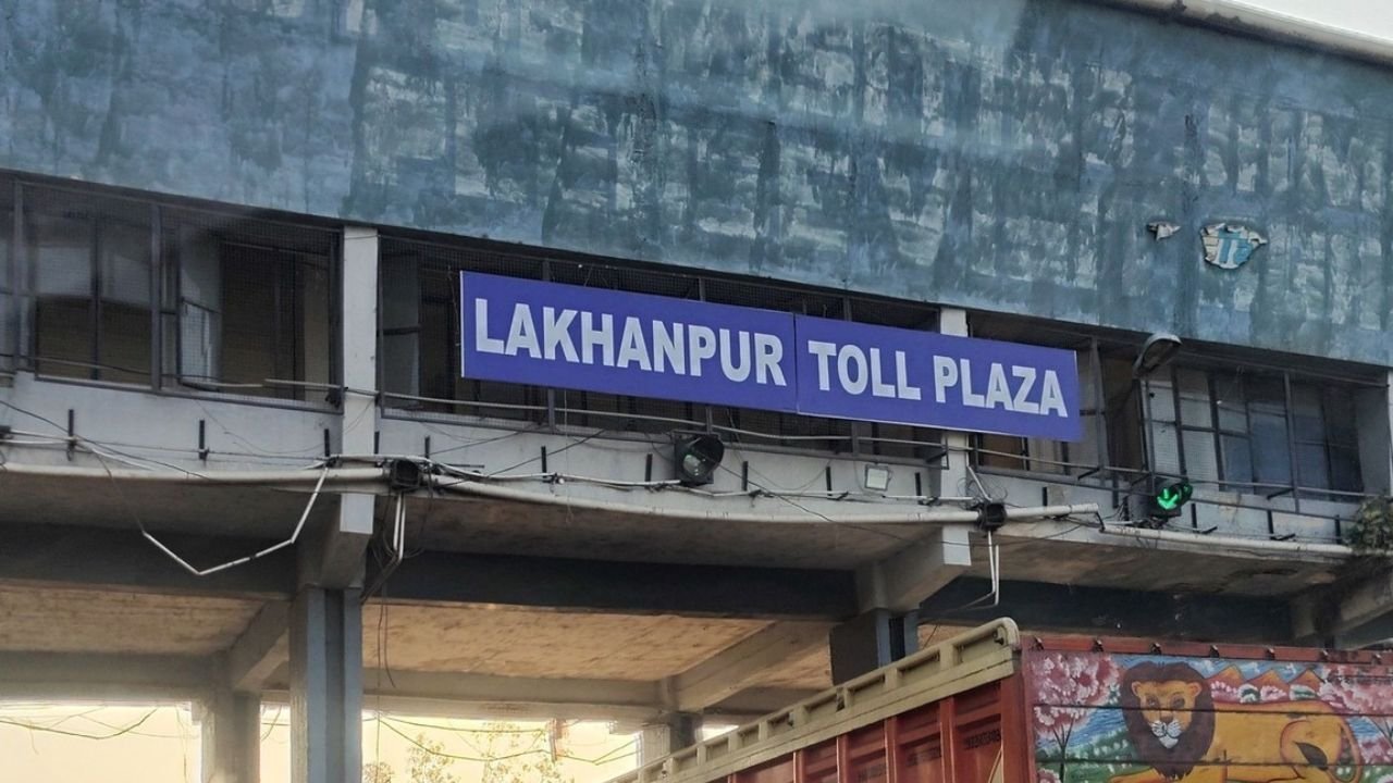
Toll Plazas: Toll Rates on Jammu-Srinagar Highway
Between Jammu-Srinagar Highway, you’ll encounter toll plazas at Bann, Mada, Banihal and Ujroo. Here’s a more detailed breakdown:
- Bann Toll Plaza: ₹170
- Mada Toll Plaza: ₹165
- Banihal Toll Plaza: ₹40
- Ujroo Toll Plaza: ₹155
- Kachkoot Toll Plaza: ₹120
Note: Toll rates for light motor vehicles (subject to change)
Popular Stopovers for Food and Sightseeing
Jammu-Srinagar National Highway: Best Places to See, Eat & Relax
- Jagti Area: Home to IIT and IIM Jammu; emerging as a food hub.
- Nandni: Famous for tea breaks and delicious pakoras.
- Domel: Known for Punjabi Haveli, a popular North Indian restaurant.
- Sarmuli: Famous for Kalari, a local cheese delicacy.
- Kud Market: Known for Patisa sweets; ideal for meals and tea breaks.
- Patnitop: A scenic hill station with hotels and restaurants.
- Batote: A great resting point for travelers.
- Peera: Famous for Rajma Chawal at Sharma Dhaba.
- Jawahar Tunnel: Entry point to the Kashmir Valley.
- Ramban: Popular local market with delicious sweets.
- Banihal: Small yet significant town known for its tea stalls.
- Qazigund: Famous for cricket bats and dry fruits.
- Titanic Viewpoint: Offers a mesmerizing view of the Kashmir Valley.
Connectivity to Katra (Vaishno Devi Temple)
- The Jammu-Katra-Srinagar Highway (NH-44) provides seamless road connectivity from Domel to Katra, covering 45 km in approximately 1 hour 6 minutes.
Read also: Vaishno Devi Train Services: Complete Travel Guide for Pilgrims
Travel Advisory for the Jammu-Srinagar National Highway
- The highway remains open for two-way traffic during the day, but authorities advise against night travel due to risks like landslides and falling rocks, particularly between Ramban and Banihal.
- Regular updates from traffic control rooms are recommended before planning your journey.
Click here and Stay updated with the latest weather and forecast for Jammu & Kashmir.
This comprehensive guide ensures that travelers and commuters stay well-informed about the latest conditions, must-visit stops, and essential travel tips for the Jammu-Srinagar National Highway.